
Whose perspective does nature data get read from? A conversation with Archaster Labs
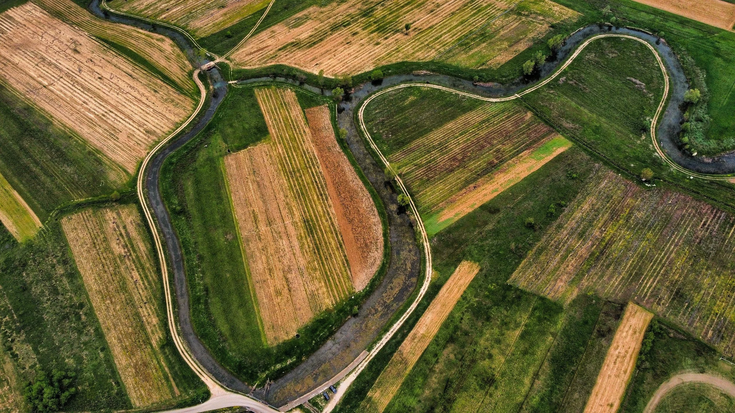
Photo by Sasa Peterkovic
Nature intelligence is usually framed in terms of risk, exposure and impact. What does this landscape mean for a company? What risks might a particular site pose to a supply chain? What is changing, and what should a business do about it?
Archaster Labs is interested in what happens when those questions become the only starting point. The Norway-based company brings together satellite data, biodiversity records, water, soil, forest and commodity information so that people making decisions about sourcing, operations and sustainability can see what is happening in the landscapes those decisions touch. But its work also asks something more fundamental: who, or what, gets to be the subject of that analysis?
That question runs through Archaster's whole approach. The team deliberately avoids reducing ecological conditions to a single risk score, showing multiple signals instead along with the reasoning that connects them. Its platform also lets users read a landscape from the position of a species that lives there, or one that should, while being careful about what such a reading can and cannot claim.
In this conversation, the Archaster Labs team talks about making nature data legible to the people making decisions, the assumptions built into nature intelligence, and what might change when landscapes are understood as more than sources of business risk.
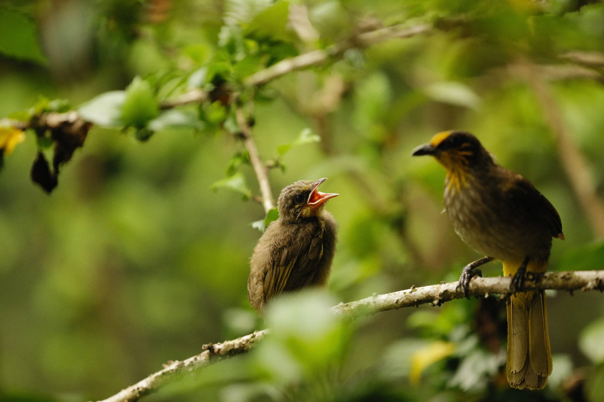
Photo by Alexey Demidov
About Archaster Labs
Q. Can you introduce Archaster Labs and explain what problem you set out to solve?
We built Archaster so that the people who decide what gets sourced, built, and restored can always see and include nature in their decisions, whenever they need it, and without needing to be spatial-data experts. A lot of nature data is out there, but it's scattered across a dozen tools, and the software to read it all together is built for spatial-data specialists.
But we believe the person who holds the decision should see what is ecologically happening at the specific places their decisions touch, the farms a commodity comes from, the landscape around a site, the land a project is restoring. So they bring their domain expertise, and our software makes nature legible for them: via satellite data, biodiversity, water, soil, and forest context, read together by an AI, adapted to their roles.
Q. Your platform serves different user personas, from sourcing managers to sustainability officers. How do you think about building for such different needs?
One data foundation, different lenses. The satellite readings, the water history, the biodiversity records, the commodity intelligence is the data that doesn't change depending on who is looking. What changes is which signals matter (more) and what a useful answer looks like.
That's the AI's job, and it works on two levels. Underneath everything, the reasoning is grounded in frameworks we chose deliberately: circular economy, regenerative design, systems thinking, rather than whatever the model absorbed by default. On top of that, the AI has different “personas” and each role brings its own frameworks and language. A sourcing lead wants to know what ecological risks affect supply and what a resilience-oriented approach would look like. An operations lead wants to know about real-time stressors affecting the landscape assets they're accountable for.
The roles are switchable, and that's deliberate. We could have locked each user to their job title at onboarding; we didn't, because a sourcing lead being able to read a site as a sustainability lead would: same data, different framing, different emphasis is the more interesting capability. Early in her career Mara worked in organizational development, and what she saw again and again was teams sitting on the same information yet were unable to talk to each other about it. If seeing one landscape through several professional lenses makes those conversations easier, that's worth more than a tidier onboarding flow.
We're conservative about adding lenses, data layers, frameworks or modules though and we only build one when at least two real use cases need it.
Q. How do you position Archaster Labs relative to other nature intelligence tools in the market?
One thing that's different about what we do is that we build for domain experts to use nature intelligence in their day-to-day work, which means our software has to be intuitive and the AI needs to speak their language. A sourcing lead shouldn't need to know what NDMI is to find out whether an origin is under stress.
Another differentiation is that we offer two entry points: location (where) and commodity (what). Most tools give you one. Connecting the two sides is where a more comprehensive view comes from: the same moisture reading means something different at a rainfall-sensitive, forest-dependent crop than at a drought-tolerant one, and you only get that view if the material’s story is part of the analysis.
The AI can also reads across a whole portfolio. Someone with four hundred sourcing locations doesn't need four hundred site reports. They need to know which three need attention this month, and why.
When we tested a lot of other tools, we noticed a gap in a foundational capability: geometry uploads failed silently, batch upload wasn't available, and fixing broken polygon files was difficult. So we built the polygon validation we wished we'd had. When you have location data and enter via the "where," the first step is checking whether the polygons are actually valid. That check runs automatically on upload, before anything is analyzed, because everything downstream assumes the shape is valid, and often it isn't.
We also don't roll signals into a single “risk score”. A composite number is easier to sort on, but it flattens the story and might hide the signal that's actually driving the result. We'd rather show multiple data sources and readings and the reasoning that connects them.
And underneath all of it is a question about whose perspective the data gets read from. That's the harder thing we're working on. More on that below.
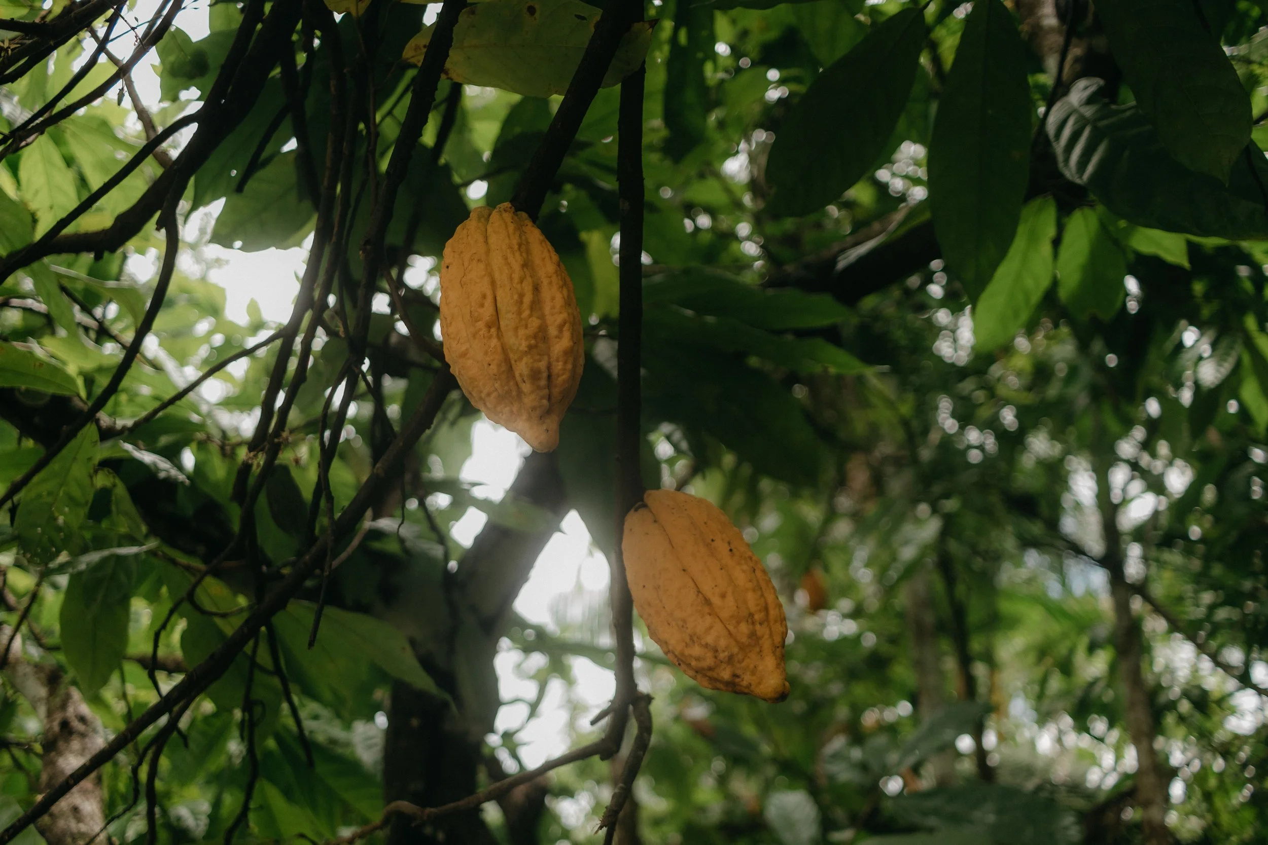
Photo by Kawê Rodrigues
The Work
Q. Your platform reads multiple data signals from a landscape together using AI. What does that enable?
A landscape doesn't come apart into datasets. Water, forest, vegetation, soil, species are all one system, and reading them separately means missing how they’re connected, how they react to one another, how they depend on one another.
That's why we use both satellite indices and mapped layers, as they answer different kinds of questions. Satellite indices tell you the current physiological state of a place: how much moisture is in the vegetation right now or whether plant health has shifted since last season. Mapped layers tell you the structural and historical context: what's protected, where the water has moved over forty years, which species are recorded there, what the forest boundary was. A satellite index alone is a number lacking context; a map layer without current readings is limited by its own temporal coverage and resolution. Neither is sufficient on its own.
We often also use several sources for the same topic. Deforestation alert systems have different detection methods and different blind spots, so we combine them rather than pick one. And coverage varies by geography for almost everything. Using multiple sources is often the only honest way to answer a question in a region where any single one is thin.
The AI's job is to hold all of that at once and say what it means, in the language and through the frameworks of whoever is asking, while labeling every claim, so the reader knows how far any sentence it outputs sits from the observable data, i.e., which parts are measured, which are inferred, and which are reasoned.
Q. Archaster can read a landscape from the position of a species that lives there, or one that should. What does that mean in practice, and why does it matter?
We inherited a vocabulary for the nature tech space that came out of boardrooms: nature risk, biodiversity risk, ecosystem services. It's precise language for managing liability, and it encodes a particular relationship: nature as the object being assessed, the business as the subject assessing it. Even "ecosystem services" carries it. A service is provided by someone, for someone. Service to whom?
That framing sharpens considerably once you start using AI on top of nature data. The datasets you select, the patterns you highlight. If every layer of a nature platform answers what is my exposure, the landscape itself is treated as a source of risk and exposure. So we've been choosing frameworks that view nature as equal and have been working on whether a system can also read from a non-human perspective. Concretely: you can ask the platform to read a place from the position of a species that lives there, or one that should.
We're clear about the limits though. We cannot hear these species and so this isn't a translation, and we'd be uncomfortable if anyone described it that way. It's a construction, built from documented ecological requirements and the observable condition of a place.
Q. Who are your target industries, and what draws you to them?
Food and grocery, cosmetics and textiles specifically companies with own-brand agricultural sourcing, and the importers and traders who supply them.
These are companies whose decisions have direct, traceable consequences for specific pieces of land. When a retailer chooses an origin for an own-brand product, that choice shows up in a landscape somewhere. There aren't many industries where the link between a commercial decision and an ecological outcome is that direct.
It's also where the data problem is most acute and most solvable. These companies increasingly hold location data for their supply chains: plot coordinates, farm boundaries, supplier maps collected for traceability or regulatory reasons. What they don't have is any way to read it themselves. The data exists and the capability doesn't, which is a narrow enough gap that a small team can close it.
We want to work with specialty coffee and cacao importers for the same reason. They tend to have genuine producer relationships, they know where their material comes from, and the story they tell their customers about origin is currently made of photographs and cupping scores. There's more to say about those places, and the evidence for it is already in orbit.
The Bigger Picture
Q. Business decisions and nature data are often siloed from each other. What does it take to bridge that gap?
We believe the main gap to close is putting the insights where the decision is made. Nature data usually sits with a specialist team, and reaches the decision-maker through a handoff; a request goes out, gets translated, waits in a queue, comes back weeks later. Closing that gap means the person holding the question can now also hold the answer, which sets a hard constraint: our software has to work for teams without a spatial-data or ecology background.
It's also about speaking the right language. A vegetation index isn't a business input. "This origin shows sustained moisture stress in a drought-sensitive ecoregion, which is consistent with quality risk next season" is. That translation the AI is able to make is a main feature of our product.
And it takes being honest about uncertainty, which is the part most often skipped. Business decisions need to know how much weight a claim can carry. If a system presents a confident answer where the evidence is thin, it will eventually produce a decision that fails, and the whole nature intelligence category loses credibility.
Q. How do you think about the potential impact of nature intelligence on business decision making?
Where we think it genuinely changes things is in the specificity of the conversation it enables. A supplier discussion that begins "please complete this sustainability questionnaire" produces one kind of answer. A discussion that begins "there's a deforestation alert two kilometres from your plot boundary, and the surface water in your watershed has changed since 2019, what's happening there?" produces a completely different one. The second is a real conversation between two parties who can both see the same thing.
The other shift is temporal. Most environmental reporting is retrospective and annual. Landscapes change continuously, and satellite data can show that. A company that can see vegetation stress developing at an origin has options: engagement, support, diversification that a company reading about it a year later does not.
But we are also cautious because nature intelligence doesn't make decisions better on its own. It makes certain things visible that were previously hidden, and what happens next depends on the organization. The frameworks a system reasons through shape the language it produces, and language shapes what people notice. That's part of why we choose ours deliberately; it runs from the data sets to the UI visuals and microcopy through to the frameworks we ground the AI in. Whether it changes what companies actually do is something we'll find out.
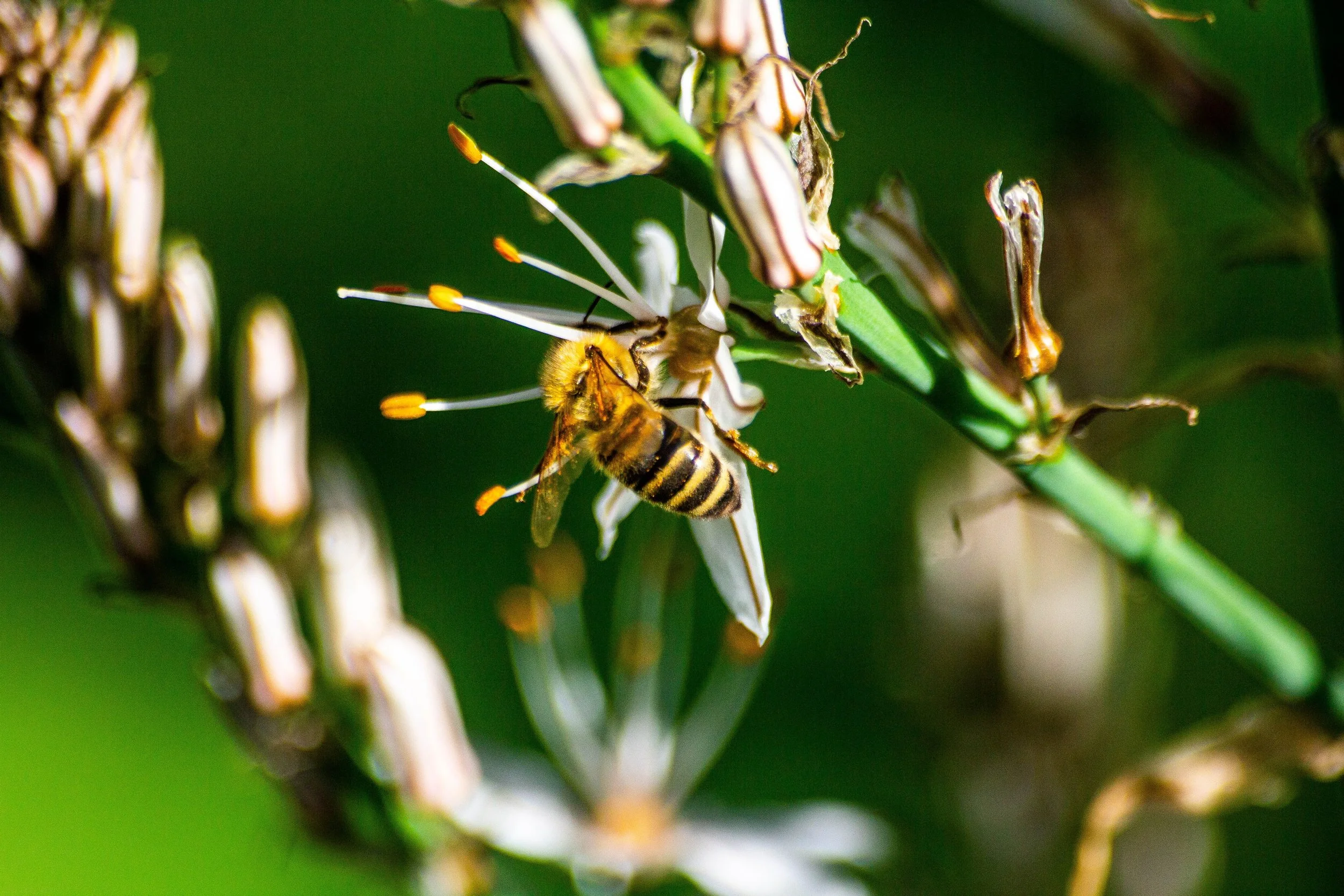
Photo by Nikolaos D. Nomikos
Community and Collective
Q. What drew you to the Nature Tech Collective, and what are you hoping to contribute to and learn from this community?
We're two people in Norway working on a problem that sits between several fields: remote sensing, ecology, procurement, design. That's a hard position to occupy alone, and NTC is one of the few places where people are working across the same boundaries.
What we can contribute is being in dialog with companies and organizations who want to give nature a voice. Not as a framing exercise, we have actual output, grounded in spatial data and documented ecological requirements, and we've had to work out where the honest limits of that are. It raises hard questions about method, about what you're entitled to claim. We don't think we've solved it. We'd like to think about it with people who take it seriously, and we're happy to bring what we've built to that conversation, in office hours, a session, or just an argument over coffee.
What we want to learn falls in three places. The first is how this field goes mainstream without flattening itself on the way: how you keep methodological honesty and nature’s interconnectedness when the market rewards a single sortable number.
The second is more concrete: everything we work with is remote sensing and existing records. We have no direct measurement yet of what is actually present on the ground. Members working with bioacoustics, eDNA and other in-situ methods are answering a question we can only approach indirectly, and we'd like to understand where those approaches meet ours.
And the third: data sovereignty. Most of what we do assumes that location data about producers' land can be collected and shared downstream. That assumption deserves more scrutiny than it usually gets, and the people working on, e.g., indigenous peoples’ data governance and farmer data ownership are way ahead of us on it. We'd value conversations about what that means for software like ours.
Personal
Q. What brought you to this work?
Both founders come from backgrounds shaped by data, patterns, and the biases inside them, and both thrive on hairy questions.
For Mara, it started with her family who has a small vineyard. Growing up around what it takes to work with a living system, and what it costs when you don't, made her the kind of person who asks where things come from, what the land is like, and how decisions about materials impact us as well as our non-human kin.
Later, in industrial design school, she was poisoned by toxic materials. Not metaphorically. What she found afterwards was that the people deciding what goes into products often don't know where their materials come from, where they end up, nor what they do while they're around, not because they don't care, but because nobody has made it easy for them to know.
Peter came to it through a different route. As a child, he asked an adult about the eternity of space, and the adult became uncomfortable with the question. That was when he decided he wanted to learn how to be comfortable and patient with large, difficult questions.
In his teenage years, a family member who had gone to document war ignited his drive to contribute something to the world.
He then studied artificial intelligence at university, where he learned to think of humans as complex systems. When he later read Finding the Mother Tree by Suzanne Simard, he realised that this complexity has analogues in nature, and that the forces which create human intelligence are the same ones shaping the world.
Archaster ties all of that together: making the connection between what companies decide, and the living systems those decisions land in, impossible to miss; we do it with patient curiosity about how those systems actually work.
Q. What are you most excited about for the road ahead?
Two things. The first is fairly simple: getting this into the hands of people making actual decisions and finding out what changes. We think a supplier conversation goes differently when both sides can see what's happening on the land, but that's a belief, not yet a finding. We want to watch it happen enough times to know whether it's true, and where it isn't.
The second is the connection between the spatial data and the commodity layer. Reading a landscape signal against what a crop actually depends on is the part I think matters most for sourcing, and it's the part we're least finished with. Every commodity we add makes the next read sharper. That compounds in a way most of what we build doesn't.
Underneath both: whether nature can hold a real position in a commercial decision rather than a symbolic one. We believe so, but can’t prove it yet.
For Archaster Labs, the open question is whether nature can hold a real position in commercial decisions. As the team puts it: "We believe so, but can't prove it yet." Archaster welcomes conversations with others working on related questions, including in-situ methods such as bioacoustics and eDNA, data sovereignty, and methodological honesty in nature intelligence, as well as with specialty coffee and cacao importers. Connect with Archaster Labs and co-founder Mara Lehmann on LinkedIn.
