How Veritree and EarthLungs built a verification system for mangrove restoration that could scale from 15 people to 2,000
Overview
Planting a mangrove is the easy part. Proving it survived is where most restoration projects run into trouble.
Along the East African coast, years of wood harvesting and salt farming had cleared large sections of forest and disrupted the tidal flows mangroves need to take root. In many places, the natural regeneration cycle had broken down entirely. Even when communities tried to replant on their own, the trees didn't make it, not because of bad intentions, but because the ecological conditions were no longer right to support them.
EarthLungs Reforestation Foundation, a Kenyan organisation founded by Victor Mwanga, started its work on the coast with a deliberate choice: community engagement before planting. Before a single tree went in the ground, the team met with elders, women's groups, youth, and local leaders. They listened to indigenous knowledge about the mangrove landscape. They explained what had happened to the ecosystem. Then they asked permission to begin. That social license, as EarthLungs calls it, came before any technology.
Veritree, a Canadian nature tech company, came in as the verification partner. What they built together over roughly two and a half years is now running across 39 coastal sites in Kenya, expanding into Tanzania and Mozambique, with a field team that has grown from 15 people to 2,000. The verification infrastructure didn't come after the scale. It was designed in from the start, which is what makes this project worth examining.
Why This Is Hard
Mangrove restoration fails for reasons that are hard to see from above. The ecosystem is tidal, salt-heavy, and unforgiving of small errors. Crabs eat seedlings straight after planting. Prolonged dry periods kill saplings. Where salt farming has disrupted the hydrology, trees planted in the wrong spot simply won't establish. Field teams at the Kenya sites work in four-feet-deep mud, carrying equipment, navigating an environment that changes with every tide.
Before Veritree, that work was documented on paper. In a marine ecosystem, during the wet season when most planting happens, paper is a liability. Data gets lost, damaged, or transcribed incorrectly. When EarthLungs was a team of 15, that was manageable. When it became 2,000 people across 39 sites in multiple countries, paper stopped being an option.
Speed compounds the problem. Growing from 15 to 2,000 people fast means different teams naturally develop different practices, different standards, different interpretations of what counts as a completed planting session. In a restoration project where corporate funders are asking for documented proof of impact, that inconsistency is a credibility problem.
On the buyer side, there is a parallel challenge. Many companies want to support nature restoration without entering the voluntary carbon market. What they need instead is structured, verifiable evidence that money went to real trees in real places, monitored over time by people who actually checked.
One Approach in Practice
Veritree's model rests on three verification layers that cross-check each other, none of which substitutes for the others.
The first is field data collected through the Veritree Collect App. The workflow has three phases. Before planting, field teams complete a site assessment: how much area is plantable, which species are recommended, what spacing is needed, and any site-specific risks. During planting, teams log species, quantities, and GPS-tagged photos across the site. After planting, assessment visits happen at regular intervals to check survival rates, flag risks, and identify where replanting is needed. The app works offline. In areas without connectivity, planters collect the data locally and sync when they reach coverage. The system also captures employment data, including planter numbers and start and end dates. When EarthLungs expanded into Mozambique and needed the app in Portuguese, Veritree turned it around in 24 to 48 hours.
The second layer is human review. Every image and every data entry that comes through the Collect App is manually checked by someone at Veritree. All data goes through three sets of eyes before it is accepted. That distinction matters when presenting data to funders: a person looked at it, not just an algorithm.
The third layer is aerial and satellite imagery. Before any planting begins at a new site, Veritree drones the area to establish a baseline, confirming the existing vegetation and ensuring no trees were pre-planted. Sites are re-flown every six months to cross-reference field reports from the ground. Satellite imagery from Sentinel and Landsat provides a broader environmental layer. Veritree has also developed a peer-reviewed blue carbon model, co-authored with the University of Alberta and EarthLungs and published in the journal Ecological Indicators, which uses drone imagery and field measurements to calculate carbon at the individual tree level. In trials near Mombasa, the model predicted each tree's carbon to within approximately 2kg, achieved in a single drone flight.
Beyond the three verification layers, bioacoustic sensors record bird species activity across the sites over time, building a baseline for tracking ecosystem recovery. Community surveys run through the app ask planters and local residents about changes to wildlife, income, and daily life. A recent survey round across the Kenya sites returned consistent reports of birds returning. At the Bonjoge site, EarthLungs runs a beekeeping programme that gives community members income from the restored forest after the planting phase ends. Corporate partners don't see raw field data. The Veritree platform compresses everything into a dashboard showing the metrics that matter for ESG reporting: trees planted, location, survival rate, carbon sequestered, site condition over time.
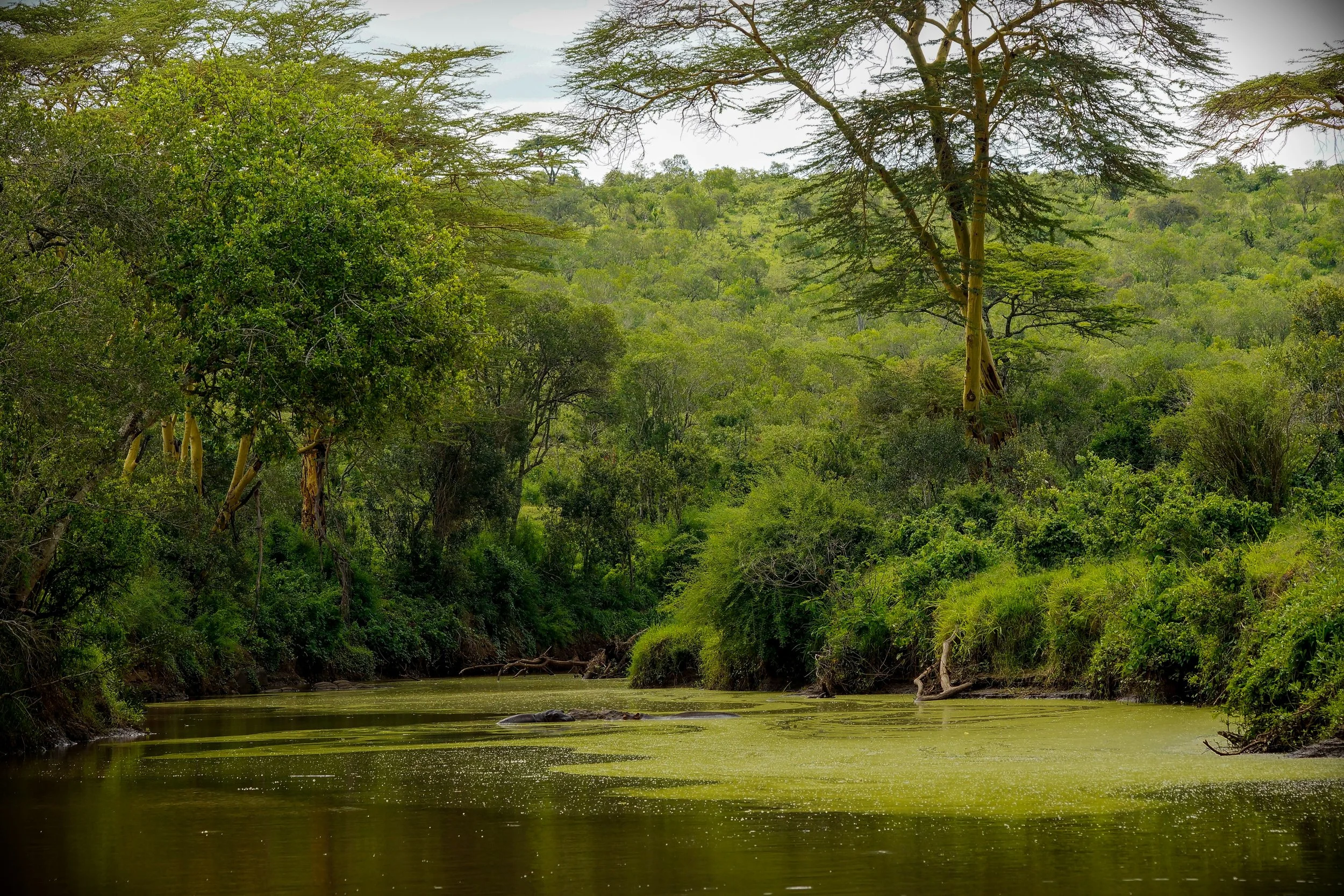
Image Credits: Unsplash
What This Enables and Where It Falls Short
The system made it possible for EarthLungs to grow at the speed it did while holding a consistent standard across every planting session on every site. EarthLungs estimates the organisation would be operating at 30 to 35 percent of its current scale without it. The shift from paper to digital in a marine environment during the wet season alone removed a significant source of data loss.
For corporate partners, Veritree's model offers something distinct from the carbon market: structured field data, multi-year monitoring, and reporting that connects funding directly to documented restoration activity. Companies get data they can share with employees and use in their own communications, tied to specific places and outcomes rather than abstract carbon figures.
The community outcomes are part of why the project holds together over time. Community members who previously relied on charcoal production and informal salt farming now hold consistent employment in seed collection, nursery management, planting, and monitoring. Survey data from the Kenya sites shows households using that income to pay school fees, switch to solar lighting, and access healthcare through social health cover provided as part of employment. When a family has stable income and health coverage, the financial pressure to cut mangroves for survival goes away. The Bonjoge beekeeping programme adds a further layer: the restored forest generates income directly, which means the community has a stake in its ongoing health rather than just in the act of planting it.
The partnership was recognised by the Chief Conservator of Forests of Kenya as the best restoration work he had seen in the country.
Measuring biodiversity recovery takes decades. The bioacoustic sensors and community surveys are tracking early signals, and those signals are encouraging, but they are proxies, not proof. Quantifying actual biodiversity return at these sites remains a long-term project.
The tension between monitoring budgets and planting budgets is real and unresolved. The question came up directly during the session: projects are increasingly asked to do more monitoring without additional funding. Veritree's position is that verification is what makes the funding credible in the first place, but that doesn't automatically solve the budget problem for projects making that case to funders weighing it against planting more trees.
What Others Can Take From This
The sequence EarthLungs followed matters as much as the technology they adopted. Community relationships came first. The social license, earned through meetings with elders, women's groups, youth, and local leaders, is what made reliable field data collection possible at all. A monitoring system deployed without that foundation is collecting data from people who have no real stake in getting it right.
The Collect App works offline because most of the sites where EarthLungs plants don't have reliable internet. That wasn't a nice-to-have feature. It was the difference between a system that works in the field and one that works in a demo. The environment sets the requirements. Any monitoring system that assumes connectivity will lose data, and in a marine ecosystem during the wet season, it will lose a lot of it.
Veritree's three-layer approach, field data plus manual human review plus aerial imagery, holds up because each layer catches what the others miss. The drone baseline before planting starts is what prevents double-counting. The human review of every image is what keeps field data honest. The cross-checking is the point, not a backup plan.
Who the verification is actually for shapes everything about how it gets built. Veritree's clients are corporate partners funding restoration directly, not carbon market buyers. That means the outputs need to support ESG reporting, employee communications, and brand credibility. A system designed for carbon auditors looks completely different from one designed for a sustainability team trying to explain impact to their CEO. Getting that clarity early is not a minor design decision.
The beekeeping programme at Bonjoge is not a side project. It creates income from the forest as a functioning ecosystem rather than from the act of planting it. Projects that end community income when planting ends create a gap exactly at the point when the restoration most needs protecting. Livelihoods tied to ecosystem health last longer than livelihoods tied to planting activity.
The monitoring budget needs to be part of the funding conversation before the work starts, not after. Retrofitting verification onto a project that has been collecting data inconsistently costs far more than building it in. The cost of proof goes up significantly once the evidence is already incomplete.
Case Classification
Measurement & Monitoring · Material Change · Monetization · Mangrove Restoration · Community-led Restoration · Hybrid MRV · Field Sensors · Bioacoustics · Drone Imagery · Blue Carbon · Kenya · East Africa