On Our Radar: New Biodiversity and Nature Data Products in Early 2026
Early 2026 has seen a number of new datasets, platforms, and satellite products enter the nature data space: from ecosystem integrity mapping and protected area databases to mangrove monitoring, mining risk, and AI-powered land observation. Nature-related decisions, whether in policy, finance, or on the ground, depend on good data. Knowing what is out there is the starting point.
Here is a quick roundup of what has been released.
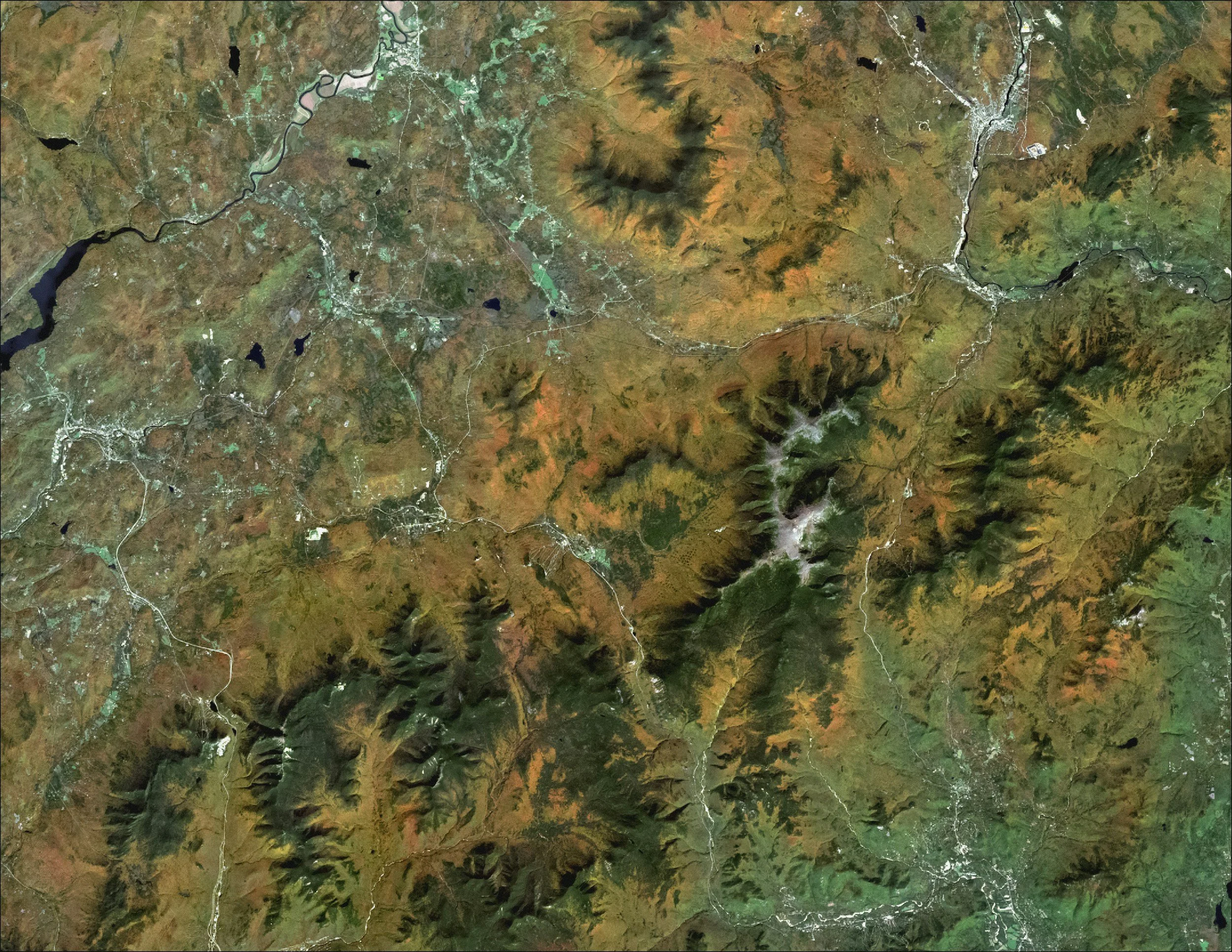
Image Credits: Unsplash
Datasets & Indices
Ecosystem Integrity Index (EII): The Landbanking Group The Landbanking Group open-sourced the EII codebase and global dataset, offering current-state mapping of terrestrial ecosystem health at 300-meter resolution. The index pulls together three dimensions: functional, structural, and compositional integrity, using a limiting factor principle. That design choice matters: high productivity in one dimension cannot mask severe degradation in another. For practitioners who have long worried about composite scores obscuring bad news, this is a meaningful step. The open-source release also means the methodology is auditable.
Habitat Intactness: The Landbanking Group (Landler) Now live on the Landler platform, Habitat Intactness adds a pressure-response lens for assessing land condition alongside the EII. It is built for non-state actors contributing to GBF targets, making it directly relevant for corporates and financial institutions working through nature disclosures.
World Database on Protected and Conserved Areas (WDPCA): Protected Planet / UNEP-IUCN Protected Planet merged the World Database on Protected Areas (WDPA) and the World Database on Other Effective Area-based Conservation Measures (WD-OECM) into one unified resource. The WDPCA provides polygon and point data on protected area boundaries globally, is open-source, and directly supports GBF Target 3 — the 30x30 goal. For policy teams and NGOs, this removes a genuine friction point: no more cross-referencing two separate databases to get a complete picture of area-based conservation.
Mangrove Data Layers (Restor): Restor released four new mangrove data layers built from satellite imagery, machine learning, and field measurements, covering a consistent 20-year time series. The layers support identification of restoration areas, change tracking over time, protection prioritisation, and biomass and carbon potential assessment. For anyone working on blue carbon or coastal restoration, this is a practically useful addition.
Intact Forest Landscapes 2000–2025 (Intactforests.org): The IFL 2000–2025 dataset and accompanying report analyses intact forest landscape loss over the past five years and maps predictions of future change. It is the most current IFL baseline available globally — a key reference for forest-linked supply chain assessments and conservation planning.
Major Mines Dataset (Cecil / PlanetSapling): Cecil acquired the PlanetSapling Major Mines dataset, built to support supply chain transparency and risk assessment in the metals and mining sector, including scope 3 material flow analysis for downstream users. As nature-related financial disclosure requirements tighten, datasets that connect industrial footprints to biodiversity pressure are becoming essential infrastructure.
Platforms & Monitoring Tools
Global Nature Watch (GNW): Global Nature Watch is an open, AI-powered land monitoring system backed by the Land & Carbon Lab and Global Forest Watch. It covers all ecosystems, not just forests, and lets any user monitor land changes in plain language, getting back answers with satellite imagery, maps, statistics, and context. The barriers to meaningful spatial data analysis have historically kept this kind of work in specialist hands. Tools like GNW start to shift that.
BioInts Pressure-Based Risk Mapping — French Agriculture (Proof of Concept): BioInts released a proof-of-concept biodiversity risk mapping tool for French agriculture, with exploratory analysis across indicators and scales, portfolio-level regional aggregation, department-level detail, and crop-level risk classification. All data sources and methodologies are documented for transparency.
Satellite & Remote Sensing Products
Copernicus Land Monitoring Service (CLMS) — Multiple New Products: CLMS released several new 300m products: updated indicators for LAI (Leaf Area Index) and FAPAR (Fraction of Absorbed Photosynthetically Active Radiation), a new NDVI V3 delivering a consistent long-term global vegetation index time series, and Land Surface Phenology V2 as a new global reference for vegetation dynamics monitoring. These support monitoring of primary production, carbon and water cycling, grassland and agricultural biomes, and deforestation detection.
Harmonized Landsat Sentinel Vegetation Indices (HLS-VI) — NASA: NASA released new HLS-derived vegetation index products combining data from Landsat 8 and 9 and ESA's Sentinel-2A, 2B, and 2C satellites, high-resolution, harmonised vegetation data for biodiversity and ecosystem monitoring. For data practitioners, the harmonisation is the key detail: inconsistent baselines across satellite sources have long complicated multi-temporal analysis.
Biodiversity Occurrence Data
GBIF Work Programme 2026 GBIF's 2026 Work Programme covers expanded marine and freshwater spatial filters, a transition to more stable occurrence ID automation, adoption of the Darwin Core Data Package format for downloads, and deeper integration with OBIS under a Joint Action Plan for Marine Biodiversity Data. The OBIS integration is worth flagging specifically, steps toward consolidation here will matter for coastal and ocean-linked use cases.
Three Trends Worth Noting
A few patterns emerge across these releases.
Consolidation is simplifying access. The WDPCA merger, GBIF's OBIS integration, and Cecil's aggregation of nature datasets under one platform all point the same direction: fewer, more comprehensive data infrastructures rather than proliferating standalone products. Good news for anyone who has spent years stitching together overlapping sources.
AI is lowering the floor on who can use spatial data. Global Nature Watch is the clearest example, but it sits within a broader shift that includes iNaturalist's Google AI Accelerator partnership and World Bank machine-learning species maps. Accessibility is increasingly a design goal, not an afterthought.
Supply chain and financial risk are now primary drivers of new product development. The Cecil-PlanetSapling Major Mines dataset and BioInts' agricultural risk mapping were not built for conservation monitoring, they were built for supply chain transparency and financial disclosure. That shift in end-user is reshaping what gets built and how it gets packaged.
This roundup covers new and emerging biodiversity and nature data products: datasets, indices, platforms, monitoring tools, and satellite products, released or announced in early 2026. Something missing from this list? Send it our way at hello@naturetechcollective.org